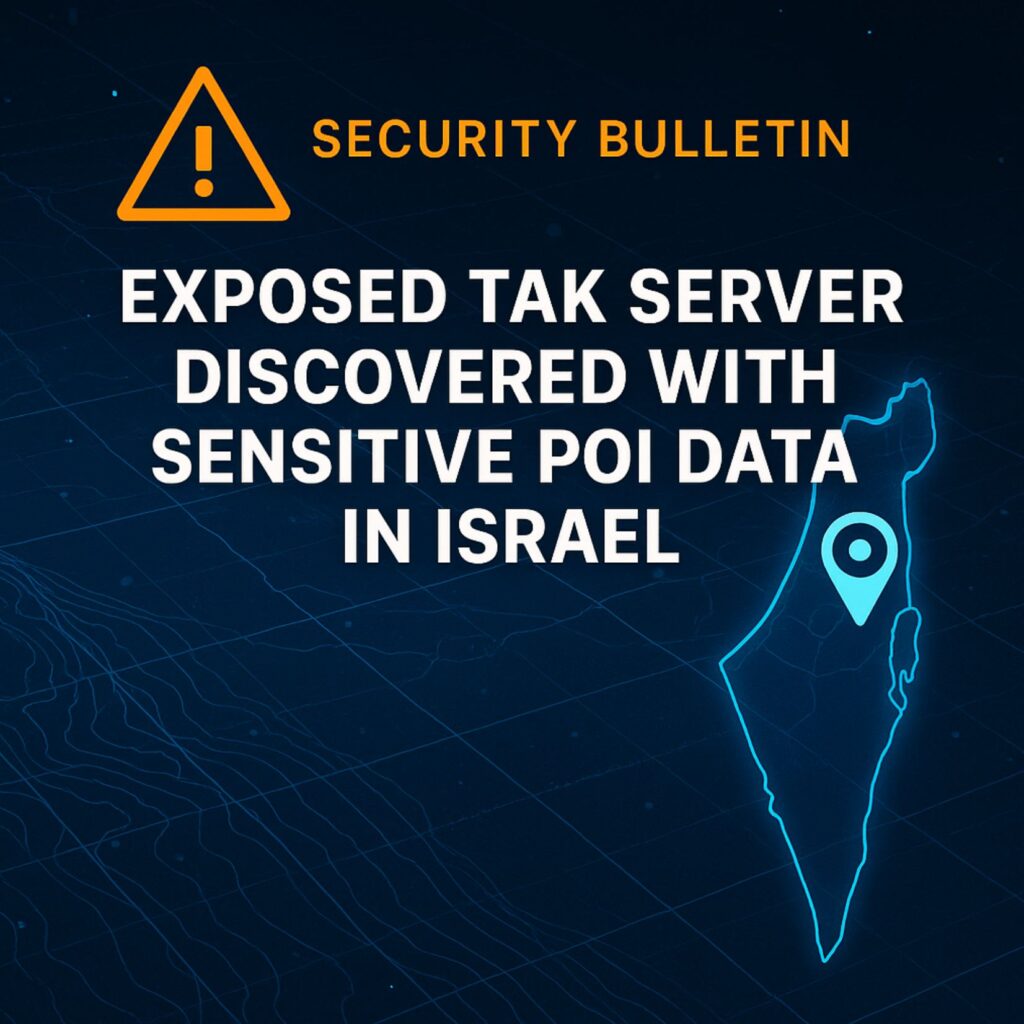
OSINT Discovery of a Public TAK Server
During routine OSINT sweeps, Cyber Intel Service identified a publicly accessible Team Awareness Kit (TAK) server containing sensitive geospatial data. The instance was indexed by Shodan, accessible through multiple open ports, and did not require authentication.
The server, an OpenTakRouter instance, was hosted on a DigitalOcean cloud server in Frankfurt, Germany.
Among the data: downloadable packages containing points of interest (POIs) inside Israel, including locations within 1.7 km of Haifa Airport and adjacent refinery infrastructure.
Why This Matters
Sensitive POIs near critical infrastructure
The TAK server aggregated several geolocated POI datasets, which could be linked to exercise planning, operational mapping, or surveillance efforts. Even if the data isn’t classified, its precision and proximity to national infrastructure raise serious operational security concerns.
How threat actors could use this data
Public access means anyone—including foreign adversaries—could download, analyze, and exploit this geospatial data. In the wrong hands, it could aid targeting, reconnaissance, or disruption planning.
The Bigger Picture: TAK Server Risks
Common deployment mistakes
TAK is used globally by military units, law enforcement agencies, and emergency responders for real-time geospatial coordination. But many deployments suffer from:
- Insecure public hosting
- Lack of authentication or role-based access
- Poor segmentation from other operational systems
- Exposure to internet indexing tools like Shodan
Operational and national security implications
Unsecured servers can leak:
- Tactical movement overlays
- Location history of responders
- Sensor feeds or drone telemetry
- POI data from sensitive missions
This is more than bad IT hygiene—it’s a national security risk.
Actionable Recommendations
- Inventory & Audit:
Immediately assess whether any TAK servers under your control are exposed to the public internet. - Access Controls:
Ensure TAK deployments require strong authentication and are only reachable via whitelisted networks. - Monitoring:
Regularly inspect TAK data packages for unfamiliar overlays, unexplained POIs, or signs of tampering. - Awareness:
Organizations should train IT teams and operators on the threat landscape surrounding geospatial tools. Tools like Shodan are routinely used to find and exploit misconfigured servers.
Final Note: Secure Your Geospatial Infrastructure
TAK remains a powerful and essential coordination platform—but its effectiveness depends on the integrity of its deployment.
The discovery of this exposed server in Germany is a reminder: what you don’t monitor, attackers will.
Make OSINT part of your own security posture. If you operate TAK infrastructure—or any critical geospatial platform—audit it now.
Need help securing your TAK deployment or geospatial infrastructure?
Our team at Cyber Intel Service specializes in OSINT-driven security assessments and infrastructure hardening.
Contact us now for a confidential consultation.


